Twelve verified stops across Mus province, from Malazgirt and the Murat bridge to the Hamurpet lakes and the wild tulip, with a mapped route and honest season notes.
Walk this route
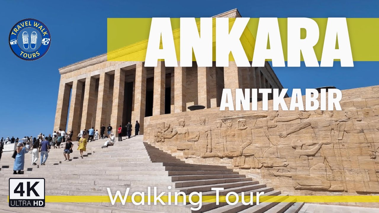
Exploring the grandeur of Anıtkabir: A 4K walking tour of Mustafa Kemal Atatürk's mausoleum
Watch the 4K walkPlaces on the map
12 pinsNumbers match the order in the article. Tap a pin for directions.
What Muş is actually like
Muş sits on terraces at the western edge of its own plain, on the lower slopes of Çavuş Mountain. Old quarters up the hill, newer ones spreading toward the flat land, roughly 200 metres between them. The centre is above 1,250 metres. The plain below is a tectonic basin about 80 km long and 30 km wide, closed by the Şerafettin range to the north and the lava flats of Nemrut east.
Two things bring visitors: the battle fought at Malazgirt in 1071, and the wild tulip that opens on the plain at the end of April. Neither is easy to catch. Malazgirt is about 137 km away by road, and the tulip lasts roughly fifteen days.
Nothing here is packaged for tourism. The historic core takes a morning on foot; the other stops are scattered across the plain and the mountain districts. The 12 stops below match the map pins. Hours and road conditions change, so check first.
Quick answer
Plan Muş in three parts: the historic core, the bridge and monasteries on the plain, and Malazgirt with the northern lakes.
- The mosques, museum and castle quarter take half a day.
- Malazgirt is about 137 km away and needs a full day.
- The Muş tulip flowers between late April and early May, about two weeks.
Things to do in Muş
1. Muş Grand Mosque
The oldest standing building in the city, in the narrow lanes of the Kale quarter. It carries no foundation inscription, so its date is disputed; the common reading puts the present building in the 14th century, on older foundations. The lower courses mix stonework from different periods, some of it clearly reused.
Inside it is small and low: thick walls, a heavy timber roof, a few columns. You come for the evidence of reworking, not decoration. It is in active use, so visit outside prayer times. Higher up the quarter there is a castle viewpoint; little of the fortress survives, but the whole plain opens up. A few streets away lie the remains of the Surp Marine church.
- Getting there: Kale quarter, minutes on foot from the main square.
- Time: 20 to 30 minutes, an hour including the viewpoint.
- Common mistake: Expecting a large Seljuk mosque. This one is modest.
2. Alaaddin Bey Mosque
A few hundred metres east of the Grand Mosque, in the same old street fabric. It was built in the early 18th century by Alaaddin Bey, the Ottoman administrator of Muş, and is also called the Alaaddin Paşa Mosque. Both its period and its patron are known, unlike the Grand Mosque, which makes it the place to see provincial Ottoman architecture.
It went through a two-year restoration in the mid 2010s and returned to use in November 2016. The stone reads as too new as a result, but the plan and minaret shaft keep their original arrangement. Take in the Grand Mosque, Alaaddin Bey and Hacı Şeref in one walk, with the old caravanserais and bathhouse remains in between.
- Getting there: Three minutes east of the Grand Mosque on foot.
- Time: 15 to 20 minutes.
- Cost and hours: No charge; visits are limited around prayer times.
- Common mistake: Skipping it because it was restored.
3. Muş Museum
The old Atatürk primary school, completed in 1938, became a museum in 2021. The two-storey stone building stands just north of the line of mosques. It is the only comprehensive museum in the province and works well as a first stop, because the chronology of the plain is laid out in one place.
The archaeology rooms start in the Chalcolithic and work through the Bronze Age before moving on to Seljuk and Ottoman material; terracotta figurines, votive plaques and gravestones are among the finds. The ethnography room holds Ottoman-era necklaces, belts, weapons and household objects, and a separate room covers Sultan Alp Arslan and the battle of Malazgirt, which makes that stop much easier to follow later.
- Getting there: Central Muş, minutes on foot from the mosque quarter.
- Time: 45 minutes to an hour.
- Cost and hours: Confirm entry and opening times with the museum directorate.
4. The Muş plain and the Muş tulip
The plain is the spine of the province: a tectonic depression of about 1,650 square kilometres, averaging 1,400 to 1,500 metres, with alluvium up to 200 metres thick. The Murat river drains it, and it sits where the North Anatolian and East Anatolian fault systems meet.
The Muş tulip is the plain's best known seasonal event. It opens in the last days of April and fades in early May, lasting about fifteen days. Sloping ground at the plain's edge and the margins of fields are where it appears most densely. A festival is held every May, though the date and the actual flowering do not always line up.
- Getting there: Any side road onto the plain; the Bulanık road crosses it.
- Time: One to two hours including the drive.
- Common mistake: Looking for a planted garden. These grow wild.
5. The old Murat bridge
About 15 km northeast of the centre, a stone bridge over the Murat river. The river is wide and slow here and the arches run in a long line across the water. For one view that shows the scale of the plain, this is the place.
The bridge sits away from the main road; you can drive close but the last stretch is dirt. In spring the snowmelt swells the river and the banks turn to mud; by late summer the piers are exposed. There is no infrastructure and no shade, but usually nobody here either. The shoreline shows the length of the structure better than standing on it.
- Getting there: North of the centre, off the Varto route. A car is needed.
- Time: 30 to 45 minutes, not counting the drive.
- Common mistake: Going after rain; the final stretch turns to mud.
6. Arak Monastery (Holy Apostles)
About 11 km southeast of the centre, near the village of Kepenek. Its Armenian name is Surp Arakelots. Tradition traces the foundation to Gregory the Illuminator in the fourth century, though the building that stood here was most likely put up in the 11th, and it was a centre of learning in the 12th and 13th.
The monastery was attacked in 1915 and abandoned. The buildings stood until the 1960s, when they are reported to have been blown up. What is left are the remains of two chapels: scattered blocks, fragments of arches, lines of wall still readable on the ground. There are no signs, the last stretch of road is rough, and the site is neither fenced nor interpreted.
- Getting there: Southeast toward Kepenek village by car; ask directions in the village.
- Time: 45 minutes to an hour.
- Common mistake: Attempting the village road in a low car after rain.
7. Surp Garabet Monastery
About 30 km northwest of the centre, in the historic region of Taron. In Armenian tradition it was dedicated to John the Baptist and its name means "Holy Precursor". From the 12th to the 20th century it was the seat of the diocese of Taron and the most important Armenian monastery after Etchmiadzin; by 1900 it was a fortified compound with four chapels.
Very little survives. The complex was destroyed and its stone reused in surrounding villages. On site you can make out foundation lines, scattered blocks and a few wall fragments. You do not come to see a monastery. You come to see where one was. The road can close in winter and there are no facilities.
- Getting there: Northwest by car; the last section is a narrow village road.
- Time: Half a day including the drive.
- Common mistake: Expecting a standing building. This is the trace of a ruin.
8. Malazgirt Castle and its walls
The castle encloses the district centre. The town grew inside and around the walls, so you walk through streets rather than around a site. Basalt walls stand several metres high in places, and in some stretches houses sit directly on the fortification.
The castle changed hands repeatedly and was repaired in various periods. It was a key point in the fighting between Byzantium and the Seljuks, besieged again and again before and after 1071. Separating the layers is hard, because the repairs sit on one another. There is no gate, no ticket and no marked route; you follow the wall line, and daily life goes on inside it, so take care with houses and courtyards when photographing.
- Getting there: In the centre of Malazgirt, on foot.
- Time: 45 minutes to an hour.
- Common mistake: Looking for the castle outside town. The walls run through it.
9. Malazgirt Battlefield Historical National Park
On 26 August 1071 the armies of the Seljuk ruler Alp Arslan and the Byzantine emperor Romanos Diogenes met near Malazgirt. The battle ended in the defeat of the Byzantine army and the capture of the emperor. Byzantine defence of the eastern frontier collapsed and Turkish movement into Anatolia accelerated. Which ground it was fought on is debated, with researchers proposing different points nearby.
The national park east of the district, on the Ahlat road, is the commemoration site, with a monument, a ceremonial ground and walking routes. Commemorations are held at the end of August and rooms are hard to find that week. The area is wide, open and short on shade. Pair it with Malazgirt Castle nearby.
- Getting there: A few kilometres from Malazgirt toward Ahlat, easy by car.
- Time: One to one and a half hours.
- Common mistake: Arriving in commemoration week without booking a room.
10. Haçlı Lake and the Bilican Mountains
Haçlı Lake, south of Bulanık, is a volcanic barrier lake formed by the rise of the Kızkopan volcano to its north. It sits at roughly 1,583 metres, covers around 27 square kilometres and is nowhere deeper than 7 metres. It takes its name from the village of Haçlı and is also called Bulanık Lake because the water is cloudy. The level stays roughly constant and the surface freezes hard enough to walk on in winter.
The Bilican Mountains rise to the east, at the western end of the Yakupağa range, an extension of Süphan. They hold snow outside summer; the southwest slope is gentle, the northeast steep, the vegetation sparse oak. There are no facilities on the shore.
- Getting there: South from Bulanık district centre by car.
- Time: One to two hours.
- Common mistake: Expecting a cafe or a jetty. This shore is undeveloped.
11. Akdoğan (Hamurpet) lakes
Two volcanic lakes lying close together on the western slope of the Akdoğan Mountains in Varto district. Büyük Hamurpet is at 2,149 metres, 21 metres deep, covering about 10.9 square kilometres. Küçük Hamurpet lies 300 metres south at 2,173 metres and is 47 metres deep: smaller but deeper. Both are fed by springs and snowmelt.
They freeze in winter and the ice can reach 40 centimetres; local people fish through it. Geese, ducks and cranes are recorded here and carp are plentiful. Oak woodland comes down to the shore, greener than most of the province, and the altitude keeps this noticeably cooler than the city in summer. Bring your own food and drink.
- Getting there: East from Varto by car; the last section is mountain road.
- Time: Half a day including the drive.
- Common mistake: Setting off in winter without checking the road.
12. Kayalıdere Urartian fortress
An Urartian settlement about 14 km southeast of Varto, on the east bank of the Murat river. The first scientific excavations were carried out in 1965 by Seton Lloyd and Charles Burney with British Institute of Archaeology support. The citadel has an upper and a lower part.
The digs uncovered a columned hall and a temple complex. The temple is square with projecting corners, about 12.5 by 12.5 metres outside. Twenty-five storage jars were found in the magazines, some with hieroglyphic marks. Six chambers of the rock-cut tomb were opened and at least eight are thought to exist. The site is accessible but not a managed park: no interpretation, no fencing, dirt road at the end.
- Getting there: Southeast from Varto by car; the final stretch is unpaved.
- Time: One to one and a half hours.
- Common mistake: Expecting the scale of the developed Urartian sites near Van.
When to go
Late April to early June is the best window: snow gone, plain green, village roads dry. For the tulip it is narrower still, the last days of April into the first of May.
September and October come second, when the light softens and the plain changes colour. For Malazgirt, either choose the commemoration week in late August or avoid it.
July and August are hot and shadeless, so the Akdoğan lakes make sense and plain stops belong to early morning. Between December and March, check road conditions before heading north.
How many days
Two full days cover the main line. Day one in the city: mosques, museum, castle quarter, then the Murat bridge. Day two at Malazgirt: the castle, the wall line and the national park. That drive is long, so do not stack anything else onto it.
Give a third day to the Akdoğan lakes and Kayalıdere via Varto, and a fourth to Bulanık and Haçlı Lake. Arak needs half a day, Surp Garabet nearly a full one.
Where to stay
Almost all the accommodation is in the city, between the main square and the principal avenue, also the best area for food and local transport. Options are limited, so book ahead in late August and during the May festival.
Malazgirt has a few places, usually available outside the commemoration week. Do not expect tourist accommodation in Bulanık, Varto, Hasköy or Korkut. Folding Muş into a Bitlis, Ahlat and Lake Van route also works.
Getting around
Muş Airport has been operating since 1992 and is about 18 km from the centre, though flights are few. The Lake Van Express passes through by rail, and the Bingöl to Bitlis and Van road runs through the city.
Within the province a car is the only practical solution. The mosques and museum are walkable, but the Murat bridge, the monasteries, the lakes and Kayalıdere require driving. Minibuses connect district centres, not rural stops, and the last few kilometres are usually dirt.
What to eat
The cooking follows the general eastern Anatolian pattern: grain, dairy and meat. The city is known for its grapes, sold at the market and by the roadside in season, and beet is a common crop.
Restaurant variety is limited. The tradesmen's canteens around the main avenue are the safest bet, working from a daily list, and local dairy is good at breakfast. Lunch options thin out in the districts, so plan ahead on a Malazgirt or Varto day.
Honest warnings
Muş is not a developed tourism province. Signage, ticket offices and visitor centres are absent at most stops.
The tulip window is very narrow. Arriving two weeks late for a flower that lasts fifteen days is common.
Neither Arak nor Surp Garabet is a standing building. Adjust expectations before driving out.
Distances mislead. Malazgirt looks close on a map and is about 137 km by road; the Varto direction is mountain road.
Snow, ice and closed roads are normal between December and March.
Prices and hours change quickly. Confirm museum entry and opening through official sources; this guide avoids figures.
Frequently asked questions
**When does the Muş tulip flower?** It opens in the last days of April and fades in early May, lasting about fifteen days. The date moves with snowmelt, so check announcements first.
**Is the exact site of the battle of Malazgirt known?** The battle took place near Malazgirt on 26 August 1071, but which ground it was fought on is debated. The commemoration site is the national park east of the town.
**Can you visit Muş without a car?** The mosques, museum and castle quarter are walkable and minibuses run to district centres. For everything else a car is necessary.
**How many days does Muş need?** Two full days for the city and Malazgirt, plus a third for Varto.
**Is it worth going in winter?** The programme shrinks. The city and Malazgirt stay reachable while rural stops and mountain roads close. The frozen Akdoğan lakes are worth seeing; ask about roads.
Planning questions
What does this Muş guide cover?
Twelve verified stops across Mus province, from Malazgirt and the Murat bridge to the Hamurpet lakes and the wild tulip, with a mapped route and honest season notes.
Can I watch a 4K walking tour of Muş?
Yes. The page links to Travel Walk Tours films so you can preview the Muş route on a big screen before you go.
How should I use this page to plan?
Read the quick answer first, skim the route notes, then compare street texture, timing, and nearby guides through the linked city page and walking films.