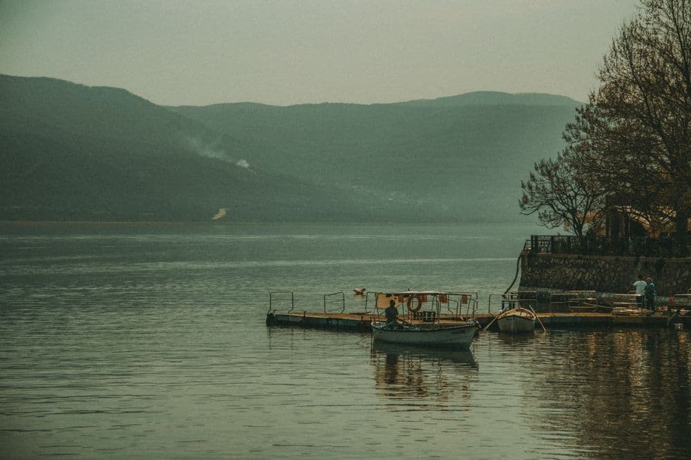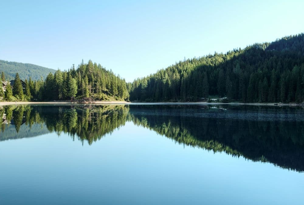
Plan Sandiras Mountain and Gokceova Lake around mountain roads, weather, hiking, navigation, camping rules and conservation.
Walk this route
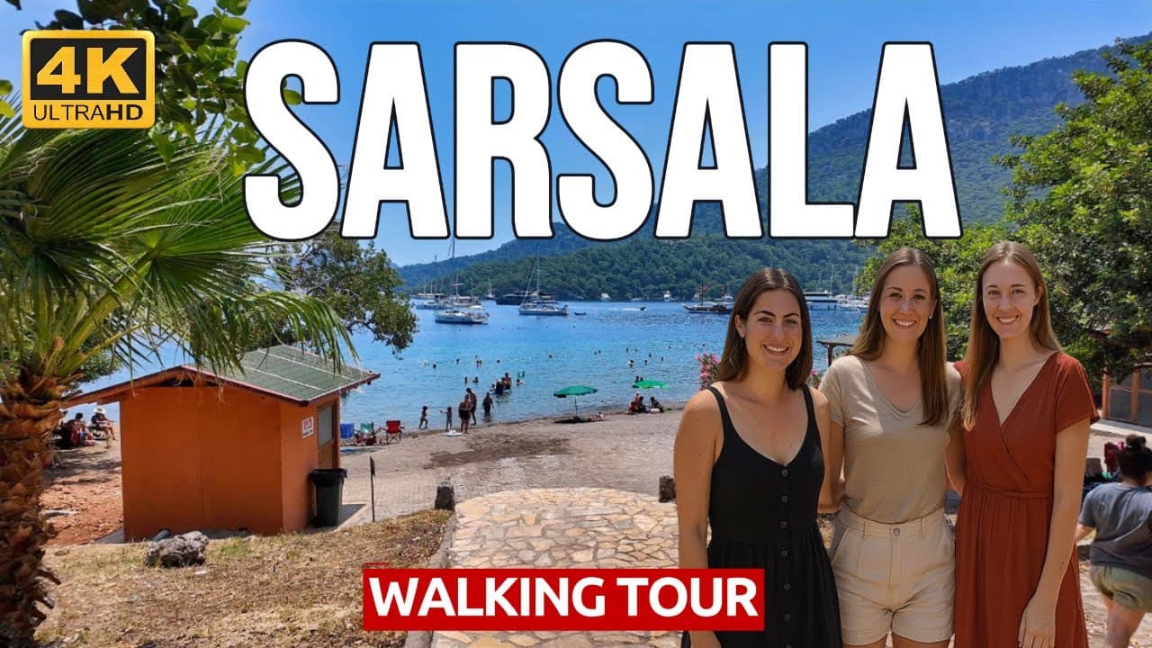
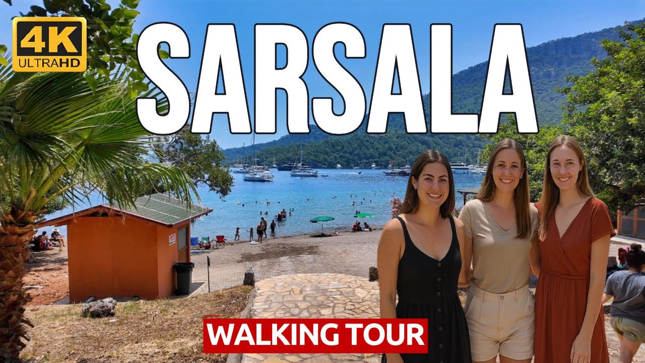
🇹🇷 Muğla, Sarsala Beach Walking Tour - Crystal Clear Waters & Stunning Hidden Cove 4K 60fps
Watch the 4K walkWhat Kind of Route Is Sandiras and Gokceova?
Sandiras Mountain and Gokceova Lake form a high-nature day very different from central Koycegiz. The database verifies Sandiras/Sandras as a viewpoint record and Gokceova as a lake. Official local information places Gokceova in mountain terrain reached beyond the Agla highland direction. This does not promise an easy road or marked trail in every season.
See Your Koycegiz Base
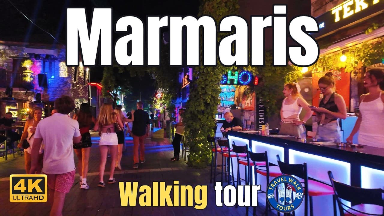
The TravelWalkTours video shows central Koycegiz as a potential base before or after the outing. It does not show the mountain road, Gokceova or summit conditions.
Before Departure
Weather, fire controls, road status and vehicle suitability must jointly determine the mountain day. A line on an online map does not prove public or safe passenger-car access. Seek a current update from municipal, gendarmerie, forestry or reliable local authorities.
- Share the intended route.
- Download offline mapping.
- Carry phone power and sufficient water.
- Check forecasts and active warnings.
- Establish a firm turnaround time.
- Never enter an unknown route alone.
Vehicle and Mountain Road
Rental insurance may exclude rough, unpaved or unauthorized roads. Even a dry surface can change after rain, erosion or sharp-stone exposure. Ground clearance, tyres and driver experience matter; when they are insufficient, consider an authorized local transfer or guide.
Leave passing room on narrow roads. Do not stop for a view without a safe parking bay. Never follow a navigation shortcut automatically or attempt an unfamiliar mountain road after dark.
Around Gokceova Lake
Do not assume Gokceova is a managed park, beach or permanently staffed campsite. Bank conditions, water level, access and conservation rules can change. Treat it as landscape observation unless current explicit swimming permission and safety assessment are available.
- Keep vehicles away from the bank.
- Do not create shortcuts through plants.
- Never feed animals.
- Keep soap and chemicals away.
- Carry every item of waste out.
Hiking and Summit Decision
A mountain summit is not simply an extension of the lake visit. It requires fitness, route knowledge, daylight, equipment and suitable weather. Do not rely on an internet track without a currently verified marked route. Turn back as mist or wind develops; reaching the target is never more important than a safe return.
Carry firm-grip footwear, layered clothing, hat, sun protection, basic first aid and an emergency whistle. Conditions at altitude may differ sharply from the town.
Camping and Fire
Images of tents do not prove that camping is permitted. Land use, seasonal fire controls and conservation decisions change. Do not camp without current permission. Never light an open fire; an existing fire ring does not make a site safe or legal.
Children and Inexperienced Visitors
With young children, limited mobility or no mountain-driving experience, replacing the day with an easy shore route is sensible. Reaching Gokceova matters less than returning safely. Maintain direct supervision beside water, roads and steep ground.
Photography and Drones
Never step onto loose ground or cliff edges for an image. Recheck airspace, forestry, wildlife and local permissions before flying a drone. Keep distance from birds and preserve quiet. Consider the visitor pressure created by publicly sharing precise sensitive locations.
Emergency Planning
Expect weak mobile coverage. After breakdown, injury or disorientation, use official emergency assistance instead of attempting a hazardous self-evacuation. Communicate the last known location, group size and condition clearly.
Frequently Asked Questions
Can a normal car reach Gokceova?
It cannot be guaranteed without a current road and vehicle assessment.
Can you swim in Gokceova Lake?
Do not swim without explicit current permission and safety information.
Can anyone climb Sandiras?
No; fitness, route knowledge, equipment and suitable weather are required.
Is camping permitted?
Only after checking current official permission and fire controls.
Do you need a guide?
An authorized local guide improves safety for visitors unfamiliar with the route.
Planning questions
What does this Muğla guide cover?
Plan Sandiras Mountain and Gokceova Lake around mountain roads, weather, hiking, navigation, camping rules and conservation.
Can I watch a 4K walking tour of Muğla?
Yes. The page links to Travel Walk Tours films so you can preview the Muğla route on a big screen before you go.
How should I use this page to plan?
Read the quick answer first, skim the route notes, then compare street texture, timing, and nearby guides through the linked city page and walking films.