Plan Bergama around the UNESCO-inscribed acropolis, the Asklepion, the Red Basilica and the tumuli, with the Zeus Altar question answered.
Walk this route
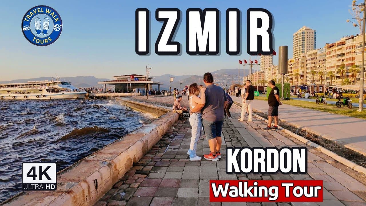
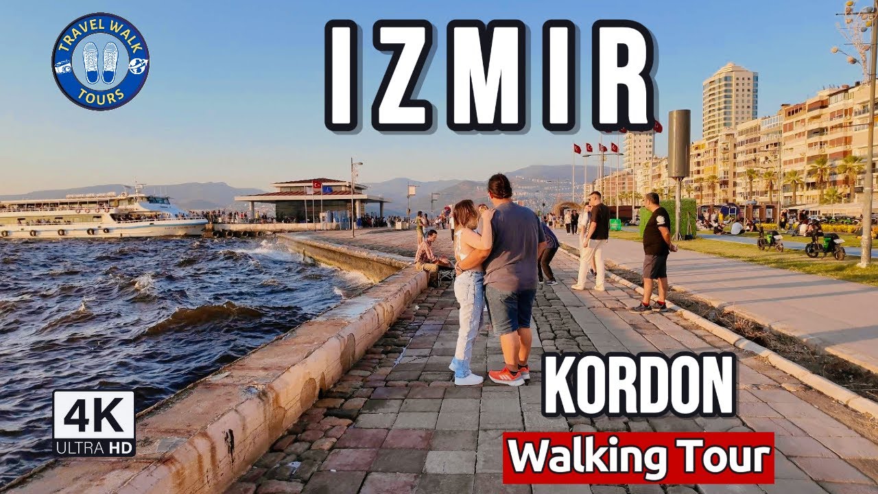
Walking Tour of Izmir's Coast | Konak & Alsancak Kordon in 4K
Watch the 4K walkPlaces on the map
15 pinsNumbers match the order in the article. Tap a pin for directions.
--- title: "Bergama (Pergamon) travel guide: the UNESCO acropolis, the Asklepion, the Red Basilica and the altar that lives in Berlin" description: "An honest guide to Bergama: Pergamon joined the UNESCO World Heritage List in 2014 with nine component parts, the theatre UNESCO itself calls extremely steep, the healing sanctuary where Galen trained, the fact that the Zeus Altar is in Berlin and the museum holding it is shut, and Allianoi under a reservoir. How many days, how to get there from Izmir, how hard the climb really is." city: "Bergama" lang: "en" ---
Bergama: the name is here, the object is elsewhere
There is something strange about an archaeological site on the UNESCO World Heritage List whose most famous object is displayed in another country. That is exactly the situation at Bergama. The Great Altar of Pergamon sits in Berlin, on Museum Island, in a building that took its name from the altar and is still called the Pergamonmuseum. What you find at Bergama, on the spot where the altar stood, is a square platform and some pine trees. Guides that hide this are misleading their readers, because visitors do climb the hill and ask where the altar is, and the answer is not there. It is roughly two thousand kilometres to the northwest.
Reducing Bergama to the Zeus Altar, though, is the same mistake in reverse. Under the Attalid kings, Pergamon belonged in the same sentence as Alexandria and Antioch. The city was built on a mass of andesite rising more than three hundred metres above the Bakircay plain, and that topography decided everything. Streets climb in hairpins. Buildings sit on stacked terraces. The theatre is cut into the slope because there was nowhere flat to put it. UNESCO's own text calls the result a masterpiece of Hellenistic and Roman urban planning and design, and lists that as the first of its inscription criteria.
The second common misunderstanding is about scope. Bergama is not just the citadel at the top. Below it is the Asklepion, a Roman healing sanctuary. Inside the modern bazaar stands an enormous brick temple. Burial mounds ring the plain. A rock-cut sanctuary looks back at the hill from the northwest. The UNESCO file covers all of it.
Who is this for? People who do not treat ancient cities as a column count. People who enjoy layers, meaning they find it interesting that one building was a temple, then a church, then a mosque. Who is it not for? Anyone hoping for shade. The acropolis is steep, exposed, and in summer it is punishing.
Quick answer
Bergama sits about 100 km from central Izmir. It needs one full day at minimum, two if you want to see it without rushing.
- UNESCO: inscribed in 2014 as "Pergamon and its Multi-Layered Cultural Landscape", reference 1457, criteria (i)(ii)(iii)(iv)(vi), nine component parts.
- The Zeus Altar is in Berlin. Only its foundation platform is here.
- The acropolis and the Asklepion are separate sites, about 2 km apart. Skipping one means seeing half the city.
- A cable car and a road both reach the top. Neither makes the walking up there any easier.
- The Red Basilica sits inside the bazaar, on foot from everything, and most people miss it.
- Midday in high summer is a genuine problem. April to May and October are the sensible months.
- Allianoi is under a reservoir. It is not a place you can visit.
- A day trip from Izmir works, but the day will be long and something will get cut.
1. The Acropolis of Pergamon
Everyone looks up here first, because the hill is visible from every street in town. The city was built on a mass of andesite standing more than three hundred metres above the plain. The north, west and east flanks drop away sharply. On the south side there are three natural terraces, and that is where the road goes up. The Attalids set their capital on those terraces and manufactured the rest with retaining walls.
What you see at the top is not one building but a sequence of levels. The Temple of Trajan crowns the highest terrace. Below it are the library and the sanctuary of Athena, then the theatre terrace, then the altar platform and the upper agora. Each terrace has its own elevation, connected by stairs and ramps.
In the UNESCO file this area is component 1457-001, officially named "Pergamon, the Multi-Layered City". Its inscribed area is 315.46 hectares, with a buffer zone of 426.928 hectares. Note what that means: the protected zone is not only the citadel. It takes in the Ottoman town below and the Asklepion as well.
The practical reality is stone underfoot, constant gradient and no shade. Bring proper shoes and water. Verify opening hours and entry conditions officially.
2. The Temple of Trajan (Traianeum)
That row of white columns you can see from the road below is this. It occupies the highest terrace of the acropolis, and Bergama's skyline is effectively this one building.
The name catches people out. This is not Hellenistic. It is Roman, dedicated to the imperial cult, built long after the Attalids willed their kingdom to Rome and the empire had made Pergamon the capital of its province of Asia. That explains why the very top of the hill carries a Roman stamp: the new power placed itself above the old one, literally.
Some of the marble columns have been re-erected, so what you are looking at is not entirely original fabric. Knowing that does not spoil the visit, it sharpens it. The vaulted galleries underneath are original, and the terrace rests on them. The reason anything stands here at all is not the rock but the engineering buried beneath it.
Look out from the parapet and the Bakircay plain opens up. The wind is usually strong. Hold on to your hat.
3. The ancient theatre of Pergamon
This is Bergama's most discussed structure, and its most oversold one. It deserves the discussion. It deserves rather less of the overselling.
The numbers: 78 rows of seating, capacity around 10,000, and a seating area 36 metres high. It is widely described as the steepest of all known ancient theatres, and UNESCO's own description of the property calls it the "extremely steep theatre". I could not find the phrase "steepest in the world" in any official document. That superlative circulates through encyclopaedic sources rather than through the inscription file. The steepness itself is not in dispute. The claim to a record should be handled with care.
The steepness was not an aesthetic decision. It was forced. There is no horizontal ground on the western flank of the hill, so the theatre had to go in vertically. The seating is divided by two horizontal walkways and by stairways into wedges, seven of them in the lowest section.
For a visitor, this translates into something physical. Looking down from the top genuinely unsettles people. The steps are narrow and tall. Plenty of visitors start down and regret it. If heights bother you, stay on the upper walkway. The view is complete from there anyway.
4. The ruins of the Library of Pergamon
What survives here is a foundation and some wall stubs. Despite that, Bergama's most repeated story starts in this building, which is why the story needs building carefully.
The library was constructed under Eumenes II and had four rooms. The largest was the reading room, roughly 13.6 by 15.2 metres. A gap of about 50 centimetres was left between the shelving and the outer walls to let air circulate and keep the humidity down, which is an early piece of preservation thinking. A three-metre statue of Athena, modelled on the one in the Parthenon, stood in the reading room.
Now the two famous claims. First, the 200,000 scrolls. That figure does come from antiquity, but it arrives inside an anecdote: Plutarch relays that Mark Antony seized the collection and gave it to Cleopatra. So the number sits in a story, not an inventory. No catalogue of the library survives, which means its true size is not knowable. Second, that parchment was invented here. The word parchment does derive from Pergamon, via Latin pergamenum, and the city dominated the trade. But the invention claim is a myth. Parchment was in use in Anatolia and elsewhere long before Pergamon rose.
Both stories have a real core. Both become false the moment they are stated as fact.
5. The foundation of the Zeus Altar
This is where a guide has to be straight with you. There is no altar on the site. There is a square platform, some pines around it, and an information panel.
The altar is in Berlin, in the Pergamonmuseum, excavated and removed by the German team in the nineteenth century. The museum owes its name to it. The sculpted frieze runs about 113 metres and shows the battle between the gods and the giants.
If your plan is to see the altar in Berlin instead, stop. The Pergamonmuseum closed completely to visitors in October 2023. Comprehensive renovation is expected to keep it largely shut for 14 to 20 years, meaning until somewhere between 2037 and 2043, with the north wing projected to reopen in 2027. The hall containing the altar had already been closed since 2014. Verify the current position with the museum officially. A separate exhibition space just outside Museum Island opened with a three-dimensional reconstruction of the altar and a panorama of the ancient city.
So at present you cannot see the Great Altar of Pergamon complete in Bergama or in Berlin. That is an unpleasant sentence to write, and it is accurate.
6. The Sanctuary of Demeter
On the middle terrace of the acropolis, southwest of the theatre, sits a site most visitors walk straight past. It is one of the most legible structures at Pergamon.
This was a sanctuary of the Demeter cult, and what survives is not an abstract footprint. The stepped seating is still in place, running along the north side of the precinct, built for the crowd that watched the rites. You can follow with your eyes how a ceremonial space actually worked, which is something most temple ruins will not give you.
It also makes a good stop for the idea UNESCO keeps underlining, which is layering. The Demeter cult is entangled with Anatolia's own mother goddess tradition. The Hellenistic kings did not import their religion onto a blank hill, they settled on top of an existing one. It is no accident that the same file lists the Cybele sanctuary at Kapikaya as a separate component part.
If you take the cable car up and back down the same way, you will miss this. Follow the path down below the theatre. The gradient does not let up here either.
7. The Acropolis cable car, lower station
There are two ways up: drive the winding road to the top, or take the cable car. The lower station is on the eastern edge of town, a short drive from the bazaar.
The cable car exists, and the UNESCO file mentions it. Not with approval. The authenticity assessment states plainly that the setting of the Hellenistic and Roman remains on Kale Hill is impacted by the funicular railway running along the east side of the hill. So you may not feel entirely good about riding it. That is the honest position.
Check the timetable, operating days and maintenance closures from an official source. Queues form in summer and at weekends, and early morning is the safest slot. In winter it may not run in poor weather.
One warning worth spelling out. The cable car carries you up. It does not make the site accessible. Once you leave the upper station, the level changes, stone surfaces and gradient inside the acropolis are all still there, exactly as they were. If you are thinking of it as the solution for an older visitor or a bad knee, it is a partial one. The hard part starts at the top.
8. The Asklepion of Pergamon
Come down off the hill, go about 2 km west, and you enter a completely different world: flat, shaded, quiet. This is the famous Roman healing sanctuary, and UNESCO's text singles it out.
The Asklepion was not a hospital. It was a sanctuary. Treatment, suggestion, sleep, bathing and theatre all operated together. On the ground you have a colonnaded sacred way, incubation chambers, pools, a theatre, a library and an underground passage. In UNESCO's own words the sacred spring still flows, which is the site's most tangible continuity.
Let us be precise about Galen, because he gets attached to this place loosely. UNESCO's text says that the physician, surgeon and philosopher Galen was trained in Pergamon and that his works were disseminated from there. So rather than calling this Galen's hospital, call it the place where Galen was formed and from which his medicine spread.
The good news for visitors is that this is the opposite of the acropolis. The ground is level, there are trees, the walking is easy. If the acropolis wore you out, save this for the afternoon. Verify hours officially.
9. The Red Basilica
Inside the bazaar, wedged between houses, an enormous mass of red brick suddenly appears. It is the most skipped site in Bergama and probably the most surprising.
The building is Roman, most likely from the reign of Hadrian, and it was dedicated to Egyptian gods. Which gods exactly is unsettled. Sources point at Serapis and at Isis, and one inscription names a whole crowd of them. The common Turkish name Temple of Serapis is therefore contested, and scholars still argue over whether this was a Serapeum or a temple of Isis. The main hall measures 60 by 26 metres and its walls still stand up to 19 metres high.
The layers here sit on top of each other, and UNESCO's file uses exactly this building as its example. The temple was gutted by fire. In the fifth century a Christian basilica was built inside its shell, dedicated to St John. The city passed into Turkish hands in 1336 and the building was converted into a mosque. Today, of the two rotundas flanking the main hall, the southern one is part of the archaeological site and open to visitors, while the northern one is still in use as a mosque.
The south rotunda spent the nineteenth century as the machinery room of an olive oil factory. The soot is still on the walls.
10. The Pergamon Bridge
Most people walking around the Red Basilica never register what is underneath it. The Selinus stream runs below the complex, and the thing that makes that possible is a Roman bridge.
The sanctuary was built directly over the watercourse. The reason was practical: the city centre was already dense, and the stream bed was the one unused strip of land. Roman engineers channelled the water into two tunnels and carried it diagonally for about 150 metres beneath the precinct. The resulting structure is a bridge deck 196 metres wide, unusual among surviving Roman bridges.
The remarkable part is that it still works. Buildings stand on it, vehicles cross it, the stream still drains underneath. You do not need a site ticket to appreciate this. In the bazaar you are walking on the bridge without knowing it. Step to the edge, look down at the vaults, and the scale registers.
There are other Ottoman bridges over the Selinus in town. Follow the water while you walk the bazaar. The city grew on both banks, which is why there are so many crossings.
11. The Bergama Museum
What you see on the acropolis and at the Asklepion is architecture. Almost everything portable is either in Berlin or in here.
The museum sits southwest of the town centre and is one of the Turkish Republic's early museums. It displays sculpture, reliefs, inscriptions and small finds, most of it from the acropolis and Asklepion excavations. There is a separate ethnographic section covering the district's more recent culture.
Its function is simple: it tells you what filled the empty terraces you climbed over earlier. Pergamon had its own school of sculpture. UNESCO's text names the result the Pergamon style and cites it as part of the reasoning behind one of the inscription criteria. You cannot understand what that style means by staring at a terrace block. You can understand it by standing in front of a relief in here.
Sequence matters. Visit the museum after the acropolis and each object lands somewhere. Visit it first and there is no context to hang it on. Verify hours and entry conditions officially.
12. Bergama Grand Mosque and the bazaar around it
There is a living town underneath the ancient city, and most visitors only pass through it. Part of the reason Bergama is on the UNESCO List is precisely this fabric.
When the Ottomans arrived they did not found a new town. They settled on top of the existing Roman and Byzantine layer. UNESCO's text spells out the list: mosques, baths, bridges, khans, bedestens and arastas and water systems, all overlaying earlier settlement. The Grand Mosque sits at the centre of that arrangement, and the bazaar around it is still where the town does its own shopping.
Watch for two things as you walk. First, reused material. Door jambs, column drums and inscribed blocks are built into walls. Here the ancient city is not a museum object, it is masonry. Second, scale. The lanes are narrow and low, and a few hundred metres away a Roman wall stands 19 metres high.
The UNESCO file also records that while the layout of the Ottoman town is preserved, the authenticity of its setting was damaged by development in the last quarter of the twentieth century. You will see that too.
13. The Cybele Sanctuary at Kapikaya
This one is about 5 km northwest of the main site and almost nobody goes. It is nonetheless the second component of the UNESCO file, coded 1457-002, with an inscribed area of just 1.772 hectares.
It is a rock-cut sanctuary of the mother goddess. Its importance is not in its size but in its position. UNESCO's integrity assessment specifically counts the view lines between the Kapikaya sanctuary and the acropolis: the two points were placed to see each other, and that relationship is part of what was inscribed. The same text treats the Cybele cult as the local Anatolian root of the whole place and starts the story of the city's layering there.
The rest of the story is worth knowing. According to UNESCO's own text, the transfer of the Cybele meteorite to Rome was facilitated by the Attalids, and the file cites this as evidence under the criterion for the interchange of human values. A stone left this hillside and helped bind Pergamon to Rome.
A practical warning: this does not operate like a managed visitor site. Access can involve dirt road and walking, and signage is unreliable. Ask locally about current conditions before setting out. If your time is tight, leave it at the bottom of the list.
14. Yigma Tepe Tumulus
Down on the Bakircay plain you start noticing neat conical hills among the fields. They are not natural. They are graves. Yigma Tepe is the largest.
In the UNESCO file it is 1457-004, with an inscribed area of 6.921 hectares. The file does not treat these mounds as decoration. It treats them as an argument: from the third century BC onwards the city was encircled by a ring of grave mounds of various sizes, which demonstrated Pergamon's claim to the plain of Bakircay. The tumuli are a visual relationship between the flat land and the citadel above it.
Yigma Tepe has a story of its own. An excavation gallery was driven into it and no burial chamber was found. It is thought to belong to an Attalid king, but that has never been settled.
Let us be honest about the experience: close up, it is a wooded hill. The value is in standing on the plain with the acropolis behind you, seeing what the mound was answering. UNESCO counts that view line as a condition of integrity. The file also records that some component parts have been damaged by illegal construction and one by illegal excavation.
15. Maltepe Tumulus
The second large burial mound, southwest on the plain. UNESCO reference 1457-009, inscribed area 2.741 hectares, buffer zone 2.935 hectares.
It makes sense to see it together with Yigma Tepe, since they are about 1 km apart and the ring only becomes comprehensible once you have stood at two points on it. The file lists seven tumuli as separate component parts: Ilyas Tepe, Yigma Tepe, Ikili, Tavsan Tepe, X Tepe, A Tepe and Maltepe. Some are under half a hectare. What UNESCO inscribed here is not really the individual hills, it is the relationship between them.
Why so many? Because Pergamon was a capital, and capitals had to be seen. The mounds told travellers crossing the plain whose land they were on. That is not architecture, it is politics.
Do not expect any visitor infrastructure. You approach on field tracks, and there is no need to climb one. If you have half an hour spare it is worth it. If you do not, skip it without guilt.
When to go
The climate fact about Bergama is this: the acropolis sits on an exposed rock and there is no shade. That turns the choice of season from a comfort question into a health question.
Mid-July and August, in the middle of the day, are seriously hard. The difference between being up there at nine in the morning and at one in the afternoon is the difference between a site you can visit and one you cannot. If summer is your only option, put the acropolis in the morning and the Asklepion in the afternoon, where there are trees and level ground.
April, May, October and early November are the sensible window. The plain is green, the temperature is reasonable, the crowds are thinner. Winter works too and the site is nearly empty, though rain makes the stone slippery and the cable car may not run in bad weather.
The hour of the day matters more than the month. Do Bergama in the morning.
How many days
One full day is the minimum and, honestly, it is tight. The acropolis takes three to four hours, the Asklepion two, the Red Basilica and bazaar an hour and a half, the museum an hour. Add the travel between them and the day is full, and you finish it tired.
Two days is comfortable. Day one: acropolis and museum. Day two: Asklepion, Red Basilica, bazaar, and the tumuli if you want them. Only consider Kapikaya inside a two-day plan.
A day trip from central Izmir is possible, with predictable consequences. It is about 100 km, and one leg runs an hour and a half to two hours depending on traffic. Three to four hours of your day go into the car, leaving perhaps five hours for Bergama itself. That means the acropolis plus one other thing. People who do it this way usually drop the Asklepion, which means they see half the city.
My suggestion: stay a night in Bergama, or leave Izmir very early. Trying to fit central Izmir and Bergama into the same day does neither of them justice.
Getting there
Bergama is a district of Izmir province, roughly 100 km from the city centre. Do not let the map fool you. That distance eats half a day.
By car this is straightforward, heading north out of Izmir. Within the district, the acropolis and the Asklepion are about 2 km apart, which is walkable but not pleasant in summer heat. You can drive up to the acropolis.
By bus there are regular services from Izmir. Getting between the sites once you arrive is your own problem to solve. Verify current departures and schedules from an official source.
Coming from the north, Bergama sits on the Canakkale to Izmir route, so the detour from the Ayvalik side is short.
A note for readers using our Foca and Cesme guides: Bergama does not belong in the same day as either. Those coastal districts sit close together. Bergama is inland and stands on its own.
What to eat
Bergama's cooking is inland Aegean, which means meat, wild greens and dough rather than the fish of the coast.
Bergama kofte carries the town's name. Bergama tulum, a cheese matured in skin, holds a Turkish geographical indication and is associated with the Kozak area.
On Kozak: the upland north of town is known for its stone pines and pine nut production. I did not put it on the numbered list, because Kozak is a region rather than a point, and there is no single verified stop I can send you to. You can drive up and pass through the pine forest, and that is a pleasant hour, but I am not going to invent a destination for it.
In the bazaar, where the traders eat is usually the right answer. I am not naming places, and I am not quoting prices or hours, because both change.
Frequently asked questions
**Is Pergamon actually on the UNESCO World Heritage List?**
Yes, on the main list. The official name is "Pergamon and its Multi-Layered Cultural Landscape", inscribed in 2014, reference number 1457, under criteria (i)(ii)(iii)(iv)(vi). The property has nine component parts: 1457-001, Pergamon the Multi-Layered City, at 315.46 hectares; 1457-002, the Kybele Sanctuary at Kapikaya; and 1457-003 through 1457-009, seven tumuli named Ilyas Tepe, Yigma Tepe, Ikili, Tavsan Tepe, X Tepe, A Tepe and Maltepe. I confirmed all of this on the UNESCO World Heritage Centre's own pages rather than from secondary sources.
**Is the Zeus Altar in Bergama?**
No. The altar is in Berlin, in the Pergamonmuseum, which is named after it. What Bergama has is the foundation: a square platform. The second half of the bad news is that the Pergamonmuseum closed entirely in October 2023 and is expected to stay largely shut for renovation until somewhere between 2037 and 2043, with the north wing projected to reopen in 2027. Verify the current position with the museum officially before planning around it.
**Did the library really hold 200,000 scrolls?**
Nobody knows. That figure comes from an anecdote relayed by Plutarch, in which Mark Antony seizes the collection and gives it to Cleopatra. No catalogue of the library survives, so its real size is not measurable. The parchment story runs the same way: the word does derive from Pergamon and the city dominated production, but the claim that parchment was invented here is a myth, since the material was already in use in Anatolia and elsewhere before Pergamon rose. Both stories have a genuine core. Both are wrong when presented as settled fact.
**Can I visit Allianoi?**
No. Allianoi was a Roman spa settlement about 18 km northeast of Bergama, sitting directly inside the reservoir of the Yortanli Dam. Despite objections from ICOMOS, UNESCO, Europa Nostra and the EU, the site was covered with sand and the dam was activated. It went completely under water in February 2011. Websites still list Allianoi as somewhere to visit. Ignore them, and do not come to Bergama for it.
**Is the climb to the acropolis hard?**
Getting to the top can be made easy. Moving around once you are up there cannot. The cable car or the road will deliver you to the summit. But the acropolis is built as a stack of terraces linked by stairs and ramps, the surface is stone, the gradient never stops and there is no shade. For anyone with a bad knee, the theatre steps are a real obstacle. Verify the cable car's operating hours and closure days officially. If mobility is limited, the Asklepion is a far better fit: level, shaded, and equally part of the inscribed property.
Planning questions
What does this İzmir guide cover?
Plan Bergama around the UNESCO-inscribed acropolis, the Asklepion, the Red Basilica and the tumuli, with the Zeus Altar question answered.
Can I watch a 4K walking tour of İzmir?
Yes. The page links to Travel Walk Tours films so you can preview the İzmir route on a big screen before you go.
How should I use this page to plan?
Read the quick answer first, skim the route notes, then compare street texture, timing, and nearby guides through the linked city page and walking films.