Explore Urla, Klazomenai, Seferihisar and Teos through archaeology, coast and slow travel.
Walk this route
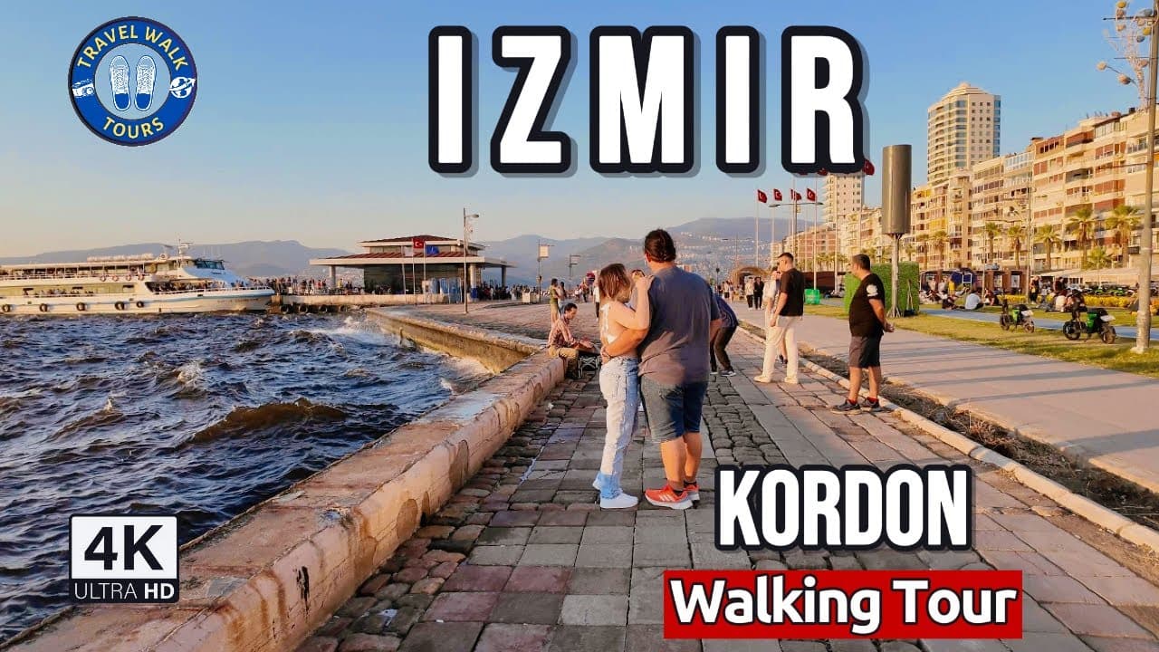
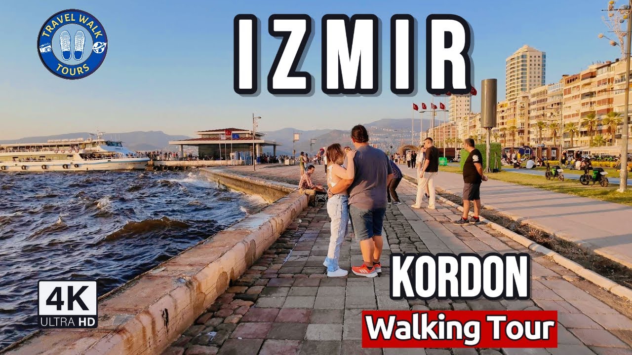
Walking Tour of Izmir's Coast | Konak & Alsancak Kordon in 4K
Watch the 4K walkPlaces on the map
16 pinsNumbers match the order in the article. Tap a pin for directions.
--- title: "Urla and Seferihisar travel guide: two separate districts, Klazomenai, Teos and Turkey's first Cittaslow" description: "An honest guide to two neighbouring İzmir districts, Urla and Seferihisar: Klazomenai and the oldest identifiable olive-oil workshop, Teos and the Temple of Dionysos, the walled core of Sığacık, Turkey's first Cittaslow town, the coastal villages and the wine country. Which place sits in which district, how many days you need, how to get there, what to eat." city: "İzmir" lang: "en" ---
Urla and Seferihisar: same peninsula, two different districts
Start with the point that trips almost everyone up. Urla and Seferihisar are two separate districts, both belonging to İzmir province, and they are neighbours. Urla lies directly north of Seferihisar. On the road out to the Çeşme peninsula you pass through Urla first; Seferihisar branches off to the south, onto its own stretch of coast. The distance looks short on a map, yet the drive between the two town centres runs to roughly half an hour, and the drive between their far coastlines takes longer. Trying to squeeze both into a single "İzmir day" means spending most of that day in the car.
The two districts also feel different. Urla holds ancient Klazomenai, the seaside İskele quarter, an inland wine country and a string of coastal villages, all in one place. Over the past decade it has turned into a weekend escape for İzmir residents, so its centre is busy and lively. Seferihisar is smaller and quieter, known for the walled core of Sığacık, the ancient city of Teos, and the beaches along its southern coast. Seferihisar is also the first district in Turkey to join the Cittaslow network, the "slow city" movement, and that title genuinely sets the pace of the place.
You can read this guide as a counterweight to a common impulse: "while I am in İzmir, let me add Urla and Seferihisar too." Our main İzmir guide tells you not to compress these two districts into the central sightseeing day. Here we show why. Each district asks for at least a full day of its own. Çeşme has its own separate guide, so we mention it here only in passing, as somewhere further down the same road.
Quick answer
Urla and Seferihisar are separate districts, both part of İzmir, and each needs at least one day and ideally a car. This route suits travellers interested in archaeology, coastal villages and a slow pace, not those looking for a busy resort.
- Urla: Klazomenai, İskele, the town centre and Sanat Sokağı fill one day; the coastal villages and the wine country spread into a second.
- Seferihisar: Sığacık, Teos, Akkum and the town centre fit into one day; the southern coast asks for a separate half day.
- Car: effectively required. The coastal villages and ancient sites sit where public transport runs thin.
- Cittaslow: Seferihisar is Turkey's first slow city, having applied in 2009.
- Klazomenai olive-oil workshop: described as the oldest identifiable production facility, in its careful, unexaggerated form.
- Food: Urla artichokes in season, seafood, wild-herb dishes and olive-oil cooking.
1. Klazomenai ancient city
An Ionian city sitting on the southern shore of the Gulf of İzmir, right next to Urla's İskele quarter. Klazomenai counted among the twelve cities of Ionia in the ancient world, and it was one of the first cities to strike silver coinage. What you see today is not a monumental site with columns lined up for photographs; it is a spread of excavation areas, foundation lines and remains scattered along the shore. You come here to read how a port city was laid out, not for a single dramatic ruin.
The city's name has soaked into the surrounding geography. Kilizman, the name long used for the coastal strip east of Urla, derives from this ancient city. Part of the site lies on the water, part inland; as you walk you find traces mixed in among fields and modern buildings. Opening arrangements and access can change, so confirm the current situation from an official source before you go. The olive-oil workshop deserves its own heading, because it is the most talked-about part of this site.
2. Klazomenai olive-oil workshop
The most striking find at Klazomenai is not a temple but a workshop. Set among the remains and dated to the sixth century BC, this facility is described in the sources as the oldest identifiable olive-oil production facility. I am passing that phrasing on exactly as it stands. It is not a flat claim to being "the oldest in the world"; it is the more careful "oldest identifiable" formulation. The distinction matters, because in many places it gets written up with the caution stripped out.
The value of the workshop is that it makes the age of olive production in this soil physical. Klazomenai was a city that made a name in the olive-oil trade, and this facility is the material evidence of that trade. The structure was restored between 2004 and 2005 under the coordination of Ege University, so what you see is a reconstruction of the arrangement rather than an untouched find. Because the coordinate comes from a single source, I have marked it as approximate on the map; the workshop sits within the Klazomenai excavation grounds. Confirm whether access is open once you are there.
3. Urla İskele
The İskele quarter drops down to the sea about four kilometres north of Urla's town centre. When people say "we are going to Urla," the place they usually have in mind is not the inland centre but this coastal strip. A fishing harbour, a seafront walk and islands visible across the water sit together here. In the late afternoon, once the heat eases, this is the most comfortable place for a stroll.
İskele has a way of separating Urla's two faces. The centre lies inland, where farming and market life happen; İskele is the sea side, the side for eating, drinking and walking. Klazomenai is right beside this quarter, so you can join the ancient city and the seafront walk into the same half day. I have given the coordinate against the neighbourhood centre, since the shoreline stretches north; treat the exact seafront point as a few hundred metres off on the map. Summer evenings and weekends get crowded and parking tightens.
4. Urla town centre and Sanat Sokağı
Urla's centre is a world apart from the coast. Sanat Sokağı, the "art street," runs between old stone and mudbrick houses and, with its restored shops, workshops and cafés, has become the most-visited part of the centre over recent years. It is where the old fabric of Urla pulls itself together along a single street: quiet in the morning, busy in the afternoon.
The weekly Malgaca market sets up in the same centre. Known as Urla's producers' market, it gathers the region's vegetables, herbs, olives and cheese in one place. I am not writing a fixed day for it, because market days can change; confirm from a local source before you go. The centre is less touristy than İskele, and for exactly that reason it is where you see Urla's everyday life. Sanat Sokağı and the market are within walking distance of each other, so you can gather the centre visit into a single stop. Without naming anywhere: the place the traders eat is usually the right place.
5. Karantina Island
A small island off Urla's İskele, joined to the mainland by a thin causeway. Its name comes from its function: it served in the past as a quarantine station and hospital, so it is not an ordinary island for a casual outing. Because it still carries a health-related function today, visiting conditions may be limited.
I want to be plain about this. I am not claiming the island is a freely visited tourist spot, because I could not verify that. It is visible from the shore and there is a connecting path, but whether entry is open is something you must confirm from an official source before going. Even from a distance, seen from the İskele seafront, the island is interesting for its story: the physical trace of a port city's public-health history. I have marked the coordinate from a single source; the island is small and its position clear, but because I could not confirm a second independent source, I show it as approximate on the map. Set your expectations accordingly.
6. Demircili
A neighbourhood south of Urla's centre that drops down to the coast. Demircili matters because it holds the necropolis, the burial ground, of Klazomenai. The Roman-period monumental tombs here stand scattered along the road and across the land, not gathered into a tidy site entered through a single gate.
That makes visiting it a bit of a search. Some of the tombs are visible at the roadside, others sit on private land. I have given the coordinate against the neighbourhood centre, because the tombs are not concentrated at one point; ask locally where to look. Demircili is also a coastal neighbourhood with small coves, so it is worth a stop for the sea even if archaeology is not your thing. Put the ancient city, the workshop and the necropolis together and you understand here that Klazomenai actually spread across a wide area. Access and conservation status can change, so confirm the current situation.
7. Zeytineli
A quiet seaside neighbourhood on Urla's western coast that takes its name directly from the olive. The name sums up what the region produces: this coastal strip is olive and olive-oil country. Zeytineli is almost empty on weekdays and comes to life on summer weekends and holiday periods.
People come here for the sea and the calm, not for a showy resort. The shore is pebbly and broken into coves; do not expect long sand beaches. Because it lies in a different direction from both the town centre and İskele, plan the return trip carefully if you give a day to the Zeytineli side. I have marked the coordinate against the neighbourhood centre, and since it comes from a single source it is approximate on the map; the shore points scatter around this centre. The most sensible approach is to treat the western coast villages, meaning Zeytineli, Balıklıova and Özbek, as a separate coastal day, since they all sit far from the centre.
8. Balıklıova
A cove and neighbourhood in Urla's north-west, associated, as the name suggests, with fishing. Small boats, a calm harbour and seafood frame the place. Balıklıova is also one of the known spots for diving; the clear water and the shape of the cove make that possible.
The settlement is small and lightly populated. This is not a resort but a working coastal village, and its rhythm is slow to match. I have marked the coordinate as precise because two independent sources agree on it. Think of Balıklıova as part of Urla's western coast line: Özbek, Zeytineli and this cove all lie in the same direction. Coming from the centre, the road runs among olive groves and small coves, so the journey shows the character of this area as much as the arrival does. If you plan to swim, count on the cove floor being stony in places; suitable footwear makes it easier.
9. Özbek
A coastal neighbourhood on the Urla to Karaburun road, known for its coves and olive groves. Of the western coast villages, Özbek is the closest to İskele in position, yet it still sits away from the bustle of the centre. Small coves, a calm sea and olive trees behind them sum it up.
Özbek's appeal is in its plainness. No large facilities, few crowds, clean water. The region's general character holds here too: olives, quiet and small-scale coastal life. I have given the coordinate against the neighbourhood centre, and since it comes from a single source it is approximate on the map; the coves spread around that centre. It is more realistic to treat the three western villages, Özbek, Balıklıova and Zeytineli, as a coastal loop rather than three separate long visits. The roads between these villages wind, and distances can take longer than they look on the map, so keep the day loose.
10. Bademler village and its village theatre
An inland village of Urla, away from the coast. What makes Bademler special is not the sea but a tradition: the village has its own theatre, a known example within Turkey's village-theatre culture. The village also has a village museum. So you come here not for a view but to see how a village built its own culture into an institution.
The performance schedule of the village theatre and the opening hours of the museum are not fixed; confirm from a local source before going, because in a small village not everything is open every day. Unlike the coastal villages, Bademler sits inland and usually falls outside the standard routes, which is exactly why it stays quiet. It is a short drive from Urla's centre. If you want to see a different face of the district without breaking up your beach day, Bademler makes a good half-day detour. I have marked the coordinate as precise because two sources confirm it.
11. Seferihisar town centre
Now we cross into the second district, Seferihisar. The centre is small and plain, but the real identity of the place is carried by a title: Seferihisar is the first district in Turkey to join the Cittaslow network, the slow-city movement. Cittaslow is an international association of municipalities founded in Italy in 1999; Seferihisar applied to the network in 2009 with the theme of supporting local producers, met the criteria and was chosen as Turkey's first slow city.
The title has a concrete meaning. Being a slow city rests on protecting local production, small traders and the everyday rhythm rather than fast growth. You see the trace of this philosophy in the centre and especially in Sığacık: producers' markets, regional products, an unhurried pace. The centre on its own is not a long stop, but it is the starting point for understanding the district. From here you fan out to Sığacık, Teos and the southern coast. It sits roughly forty-five kilometres by road from İzmir.
12. Sığacık and Kaleiçi
Sığacık is the most-visited place in Seferihisar. It sits on a small peninsula, a coastal quarter facing north. Its core is Kaleiçi, the narrow-laned quarter built inside the walls of an Ottoman castle from the sixteenth century. Houses have settled into and on top of the walls, so castle and neighbourhood are woven into each other. Sources put the castle's construction in the 1520s; check an official source for the exact figure.
Sığacık was a fishing village until 2009; after Seferihisar took the slow-city title, it turned into a calm holiday spot. The marina is on the east side, the beaches on the west. The weekend producers' market is one of the best-known events here, but I am not writing a fixed day for it; confirm locally. One note: the tsunami that followed the 2020 Aegean Sea earthquake caused damage in Sığacık, so coastal arrangements may have changed over time. If seafront details matter to your plan, check them fresh.
13. Teos ancient city
An Ionian city built just south of Sığacık, on a low, rolling isthmus. Teos was also one of the twelve cities of Ionia, and like Klazomenai it is proof of this region's ancient density. The city's best-known structure is the Temple of Dionysos; dedicated to the god of wine and theatre, this temple also connects to Teos being a centre for performing artists in the ancient world. The site also holds theatre and harbour remains.
Teos does not have the air of a tidied-up tourist ruin; it is a site still under excavation, spread among olive groves. That makes it quieter and more real. Because it lies a short walk or drive from Sığacık, you can put the two into the same half day. I have marked the coordinate as precise because several independent sources confirm it. Shade can be scarce, so take a hat and water on summer middays. As an active excavation area, access arrangements can change, so confirm the current situation.
14. Akkum
A wide beach just west of Sığacık. Akkum divides into Büyük Akkum and Küçük Akkum, or greater and lesser Akkum; both sit close to Sığacık and are among Seferihisar's most-used beaches. Depending on wind conditions this coast also suits water sports, and it is one of the known spots for windsurfing in particular.
Set your expectations: this is a busy, organised beach strip, not a deserted cove. It fills on summer weekends. If you are staying in Sığacık, Akkum is a short walk or drive, so joining the castle, Teos and the beach into one day is easy. Sun loungers, parking and facility services may carry a charge on most stretches of coast; even a beach that looks free can bring extra costs, so ask the total in advance. Watch for flag, wind and current warnings in the water; the wind that pleases a surfer can be dangerous for a swimmer.
15. Ürkmez
A neighbourhood on Seferihisar's southern coast, known for its long beach and summer-house settlement. Compared with the Sığacık side, Ürkmez leans more towards holiday complexes and family holidays. A long shoreline and a sea with a shallow entry make it a preferred spot for families with children.
This is a separate coast, south of both the Seferihisar centre and Sığacık; if you give a day to it, set up the round trip accordingly. Ürkmez, together with its neighbour Doğanbey and the Gümüldür direction, is part of İzmir's southern summer-house belt. I have given the coordinate against the settlement centre, and since it comes from a single source it is approximate on the map; because the shore strip is long, decide in advance which point you are heading to. Outside the summer season it is calm, even empty. Follow sea-safety rules; on long, open beaches wind and waves can change quickly.
16. Doğanbey
An old coastal village south of Ürkmez, known for its stone houses. Doğanbey's value lies in having kept its fabric: partly restored stone houses, narrow lanes and a settlement looking out to sea. Next to the new holiday complexes, the old village itself is one of the rare examples left standing.
Visiting it is a slow business; you park the car and walk the lanes. Because it is a small settlement, not everything is open every day, so check the state of businesses on the spot. It makes sense to join Doğanbey with Ürkmez on the same day, since the two are neighbours on the southern coast. I have marked the coordinate against the settlement centre, and since it comes from a single source it is approximate on the map; the official neighbourhood name may have changed over time, so account for that in your directions. If you are curious how a quiet coastal village manages to be preserved, Doğanbey is the most meaningful stop on the southern route.
How many days you need
The shortest honest answer: at least one day per district. Squeeze Urla into a single day and you will see the centre, İskele and Klazomenai but skip the western coast villages and the wine country. Put Seferihisar into one day and you have enough for Sığacık, Teos and Akkum, but not for the southern coast.
Two full days are a realistic floor for seeing the two districts comfortably. If you also want to add the coastal villages, the wine country and the southern shore, three to four days suit better. If İzmir's centre is on your programme too, do not merge these two districts with the central day; set aside separate days. Distances look short on a map, but winding coast roads and summer crowds stretch the time.
The region's vineyards and wine culture
Inland Urla is a wine-growing region that has revived over recent years. I talk about it here without naming names, because recommending individual vineyards or hotels is not this guide's job. What matters is this: Urla and its surroundings have been vine and olive country since antiquity. Even the temple at Teos, dedicated to Dionysos, the god of wine, is a sign of that long past.
Today a wine route has taken shape in the region, and vineyard visits are usually made by appointment. If you want to go, confirm the open days, the visiting conditions and the transport directly with the establishment; most sit inland, where public transport runs thin. If alcohol is involved, plan the driving. It is more accurate to see the area not as a "wine tour" but as the present-day extension of the long history of the olive and the vine.
How to get there
Coming by car is the most practical. I will not soften this: even though public transport runs between the town centres, a car is all but essential for the coastal villages, the ancient cities and the wine country. For Klazomenai, Teos, the area around Karantina Island, the western coast villages and the southern shore, buses are either infrequent or they leave you on the main road.
On the public-transport side, let us be clear about one thing: İZBAN, İzmir's suburban rail, does not run all the way to the Urla or Seferihisar centres; its line stretches in other directions. The metro and İZBAN bring you to the city's western transfer points, such as Fahrettin Altay, and from there you continue to Urla and Seferihisar by ESHOT buses and minibuses. Because routes and times can change, check the exact service from the municipality's official app. The final link to the coastal villages and ancient cities is often a local minibus or a private car; plan the return time before you set out.
When to go
Spring and autumn are the most balanced. April, May and June, then September and October, let you tour both the ancient cities and the coast in comfort. In spring the wild-herb dishes and the artichoke season bring the region's cooking to its best, and the countryside turns green. In autumn the weather is mild, the sea is still warm and the crowds thin out.
Summer is lively for the coast but hot and crowded. In July and August, Akkum, Ürkmez and the western coves fill up, parking tightens and the midday heat makes touring an ancient city hard. If you go in summer, front-load the morning and evening and spend the middle of the day in the sea or in shade. Winter is calm and wet; the coastal villages empty out and some businesses close. Archaeology and walking are still possible in winter, but the day is short and rain can break the plan.
What to eat
These two districts hold some of the richest corners of İzmir's Aegean cooking. The artichoke is the region's signature; in spring in particular, Urla artichokes come to the table cooked in olive oil. Wild-herb dishes are the same: shevketi bostan, wild chicory, sea beans and other seasonal greens, prepared with olive oil or with egg.
On the coast, seafood comes to the fore. Near the fishing harbours of Sığacık and Urla İskele you can find fresh fish and seafood, though the price changes with the season and the catch, so ask in advance. Olives and olive oil are the base of the region, so breakfast tables are rich too. At the producers' markets, meaning Urla's Malgaca and Sığacık's producers' market, you find regional cheese, jam, olives and herbs. I am not naming venues; at the market, the place the traders point you to is usually the right one.
Frequently asked questions
**Are Urla and Seferihisar the same place?**
No. Both are separate districts belonging to İzmir, and they are neighbours. Urla lies directly north of Seferihisar. Klazomenai, İskele and the western coast villages are in Urla; Sığacık, Teos, Akkum and the southern coast are in Seferihisar. Do not mix them up, because knowing which place sits in which district is what lets you build the route correctly.
**Can I see both in one day?**
If you push it, yes, but only superficially, and I would not recommend it. Each district asks for at least a day of its own, and there is roughly half an hour of driving between them. Compress them into one day and you will see most places from the gate and drive on. Do not add İzmir's centre to the same day either; that is a classic exhaustion mistake.
**Is Seferihisar really Turkey's first slow city?**
Yes. Seferihisar applied to the Cittaslow network in 2009 and, having met the criteria, was chosen as Turkey's first slow city. Cittaslow is an international association of municipalities founded in Italy in 1999. The title is not a marketing line; it has concrete counterparts such as producers' markets and a slow pace.
**Is the olive-oil workshop at Klazomenai really the oldest in the world?**
This needs careful wording. The sources describe the facility as the "oldest identifiable olive-oil production facility" and date it to the sixth century BC. So rather than a firm claim to a world ranking, it is called the oldest identifiable example. The structure was restored in 2004 and 2005 under the coordination of Ege University. Be cautious with flat statements like "the oldest in the world."
**Can you get around without a car?**
The centres partly yes, the rest in practice no. There are buses and minibuses from İzmir to the Urla and Seferihisar centres, but public transport is sparse for Klazomenai, Teos, the coastal villages and the wine country. If you do not want a car, make a plan focused on the centres and Sığacık, and research a local tour or minibus option for the far coasts in advance.
Planning questions
What does this İzmir guide cover?
Explore Urla, Klazomenai, Seferihisar and Teos through archaeology, coast and slow travel.
Can I watch a 4K walking tour of İzmir?
Yes. The page links to Travel Walk Tours films so you can preview the İzmir route on a big screen before you go.
How should I use this page to plan?
Read the quick answer first, skim the route notes, then compare street texture, timing, and nearby guides through the linked city page and walking films.